

Usually ready in 4 hours
Map Features: Attractions, ATVing, Camping, Fishing, Hiking, Hunting, Paddling, Skiing, Snowmobiling, Hydrology, logging and industry roads
Areas Covered: Adams Lake, Armstrong, Beaverdell, Chase, Cherryville, Christian Valley, Enderby, Falkland, Grand Forks, Greenwood, Kelowna, Keremeos, Lake Country, Naramata, Oliver, Osoyoos, Peachland, Penticton, Revelstoke, Salmon Arm, Seymour Arm, Sicamous, & more
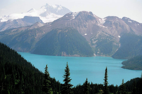
ocated in the heart of BC’s southern interior, the Okanagan Valley is an astoundingly diverse and beautiful area. Home to arid desert plains, crystal-clear mountain streams, shimmering lakes and old-growth forests, and famous for both its sunshine and snow, the Okanagan has captivated outdoor explorers for generations. This map charts this entire recreation-rich region and features significant expansions from our last edition. We have expanded our coverage north to include all of Adams Lake and the upper reaches of the Shuswap Lakes, including Antsey Hunakwa Provincial Park and the Seymour River. To the east, this map now covers the outdoor playground around Revelstoke and most of Revelstoke Lake, along with the pristine wilderness of Monashee Provincial Park and Granby Provincial Park. To the south, we have also included the area around Grand Forks and historic Greenwood. This is not to mention the familiar coverage of such outdoor recreation hotspots as Osoyoos, Kelowna, Vernon and Salmon Arm. Whether you are looking to hike, camp, fish, paddle, swim, ski, snowshoe, hunt or ATV, this map gives you the most comprehensive coverage available anywhere.
To make navigating this outdoor adventure-filled region easier, the Backroad Mapbooks team has worked tirelessly to provide you with the most detailed and easy-to-use Okanagan Valley & Shuswap Map possible. This dual-sided 34” x 56.25” map is printed on durable, waterproof paper to withstand anything mother nature throws at you. With industry-leading cartographic detail, state-of-the-art relief shading, colour-coded Provincial Parks and more, there is no easier-to-read map on the market. This map contains countless points of interest, hiking trails, campsites, beaches, paddling routes and more. Brand new to this edition is the addition of private land to help you avoid potential out-of-bounds areas while hunting or hiking. We also include descriptions of recreation sites and parks with information on camping, fees, activities, access and more. From Enderby to Naramata, Keremeos, Armstrong, Oliver and beyond, this is your ultimate guide to one of Canada’s most sought-after outdoor destinations.
Okanagan Valley & Shuswap Waterproof Map at a Glance:
Serving Vancouver, Burnaby, Surrey and Beyond!
Skyview Outdoors
12355 Pattullo Pl,
Surrey, BC V3V 8C3
Canada
Sign up for special offers, information on Kayak Demo Days and more!
© 2024, Skyview Outdoors Ecommerce Software by Shopify