
Double click image to zoom in

Click image to open expanded view
You may also like
Stay in the Loop
Sign up for special offers, information on Kayak Demo Days, and more!
Canadian Owned Since 1998
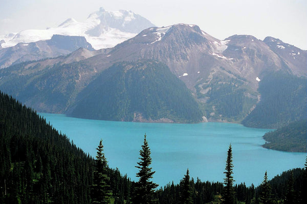
Printed on tear resistant and waterproof paper, this topo map covers British Columbia’s Campbell River area, including Comox, Courtenay, Campbell River, Gold River, Sayward and Strathcona Provincial Park. It shows hunting management units, fish species indications, logging roads and trail systems, complete classified road systems, road names, wilderness campsites, boat launches, paddling routes, and park and forest recreation sites.
Serving Vancouver, Burnaby, Surrey and Beyond!
Skyview Outdoors
12355 Pattullo Pl,
Surrey, BC V3V 8C3
Canada
Sign up for special offers, information on Kayak Demo Days and more!